Land Leveling Built for Water Management
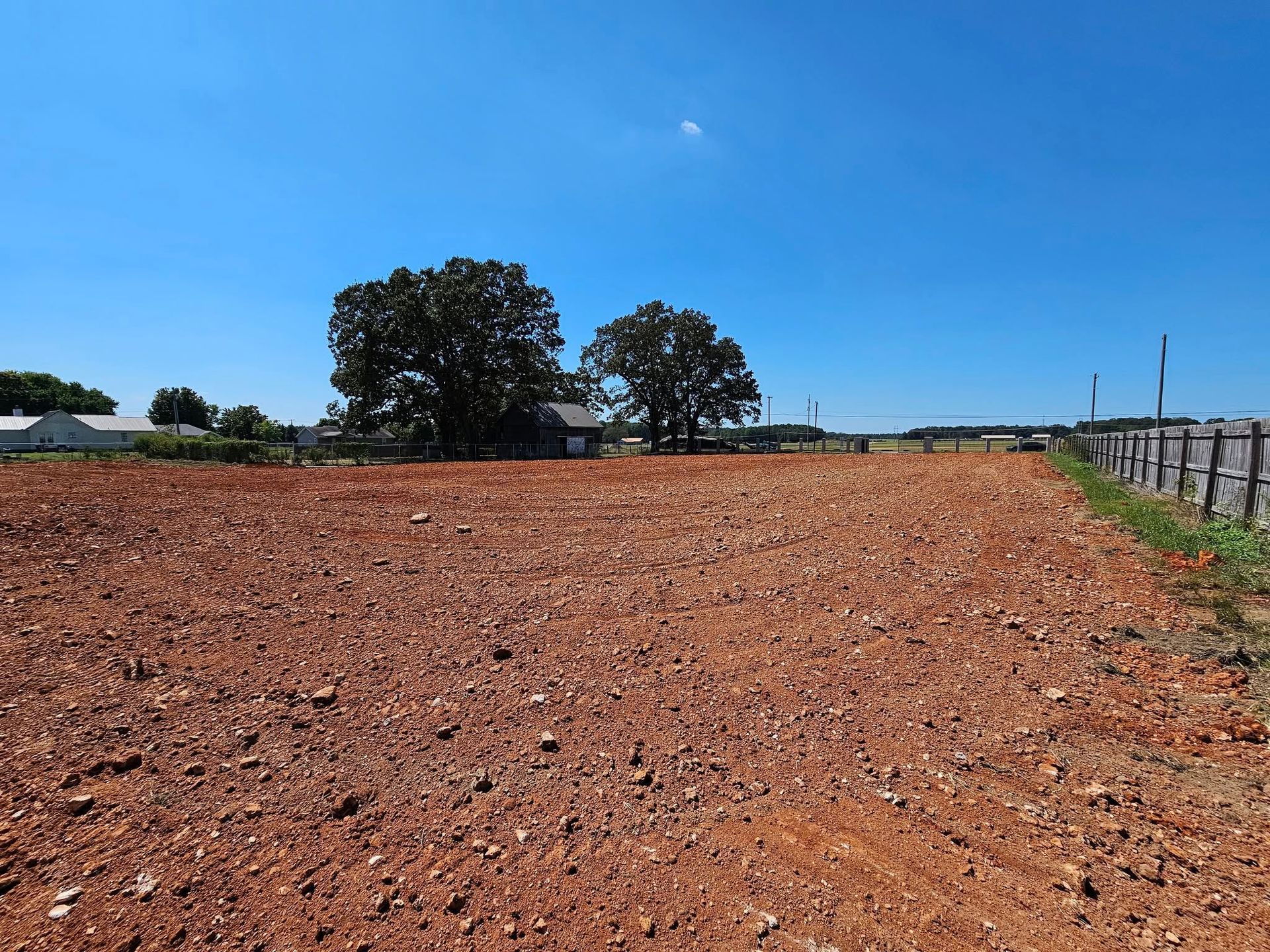
Grading in Florence for field preparation and site development in Tennessee River valley clay soil
Alabama clay soil expands when it absorbs moisture and contracts during dry periods, creating uneven surfaces that affect water drainage and equipment operation across agricultural fields and construction sites. Grading reshapes land to control water flow, remove high spots that interfere with farming equipment, and establish slopes that prevent flooding in low areas. Peters Farms & Equipment co. performs land leveling and contouring with GPS-guided precision equipment that creates consistent grades measured to tenths of a foot, addressing the drainage challenges that clay soil expansion and contraction create over time.
The grading process involves cutting high areas and filling depressions to establish uniform slopes that direct water toward planned drainage paths. GPS guidance systems mounted on dozers and scrapers maintain target elevations across large fields, preventing the inconsistent hand-grading that leaves pockets where water collects.
Schedule a site assessment to evaluate current land contours and determine grading requirements for your property.
What Changes After Precision Grading Completes
Work begins with surveying the existing ground elevations and mapping water flow patterns that occur during rain events. Heavy equipment moves soil from high areas to low spots, compacting fill as it is placed to prevent settlement that would recreate uneven surfaces. GPS-guided blades maintain precise elevations throughout the process, creating uniform slopes that range from minimal grades for controlled drainage to steeper contours where faster water movement is needed.
Once grading is complete, water will flow in predictable directions without pooling in low spots or eroding soil from high areas. Fields will support uniform equipment operation without gouging from hidden depressions or scalping from raised zones. The surface will be smooth enough for planting equipment to maintain consistent seed depth, and irrigation water will distribute evenly rather than collecting in poorly graded areas. You will see a visibly uniform field elevation where previous work left uneven contours.
Agricultural grading accounts for equipment access needs, ensuring that tractors and implements can cross the property without bottoming out in drainage swales or struggling to climb excessive slopes. The mobile equipment fleet handles projects at remote farm locations, and scheduling flexibility accommodates weather conditions that affect clay soil workability and compaction.
What Property Owners Usually Ask
Farmers and developers in Florence preparing land for cultivation or construction typically want to understand how GPS-guided equipment improves accuracy and how clay soil behavior affects grading results.
What does GPS-guided grading provide that traditional methods do not?
GPS systems maintain blade elevation to within tenths of a foot across the entire project area, creating consistent slopes that hand-grading cannot match. This precision prevents water from pooling in low spots that develop when equipment operators rely on visual assessment alone.
How does clay soil expansion affect grading work?
Clay swells when wet and shrinks when dry, causing surface movement that can alter drainage patterns after grading is complete. Proper compaction during grading minimizes this movement, but seasonal soil behavior means drainage slopes must be adequate to handle clay's changing characteristics.
Can grading fix existing drainage problems on agricultural land in Florence?
Grading redirects water flow by establishing slopes that move runoff away from problem areas toward planned drainage paths. Fields that currently flood can be contoured to drain properly, though severe drainage issues may also require French drains or tile systems in addition to surface grading.
What slope is needed for proper field drainage in Alabama clay?
Minimal slopes of one to two percent provide enough fall to move water without creating erosion, though flatter or steeper grades may be appropriate depending on field size and soil conditions. GPS guidance allows precise slope establishment that balances drainage effectiveness with farming equipment operation.
How long does graded land remain level before settling occurs?
Properly compacted fill settles minimally if clay moisture content is controlled during grading, maintaining drainage slopes for years. Poorly compacted soil or grading performed in saturated conditions will settle unevenly, requiring rework to restore proper drainage.
Peters Farms & Equipment co. provides precision grading for agricultural fields and construction sites where clay soil conditions demand accurate elevation control and proper water management. Request a property evaluation to discuss grading methods and equipment appropriate for your land preparation needs.